
Where to start
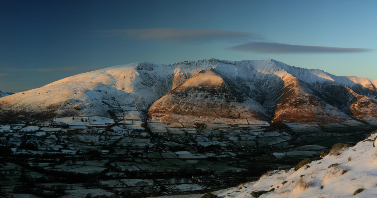
Seven of them have pages of their own: the highest ground in England, the one that dominates the drive in, the one you can climb straight from the Market Square, the classic ridge, and Wainwright’s favourite.
Under those is every named fell walk KTA has written up, with its distance and time — from an hour and a half on Sale Fell to a full mountain day on the Coledale Round.
Seven fells in full
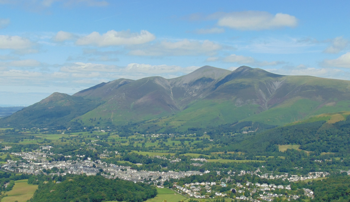
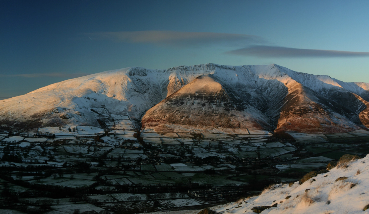
Craggy ridges falling steeply to Threlkeld on one side and gentle grass on the other — Sharp Edge and Halls Fell, or Scales Fell without the scrambling.
Read more868m · Saddleback
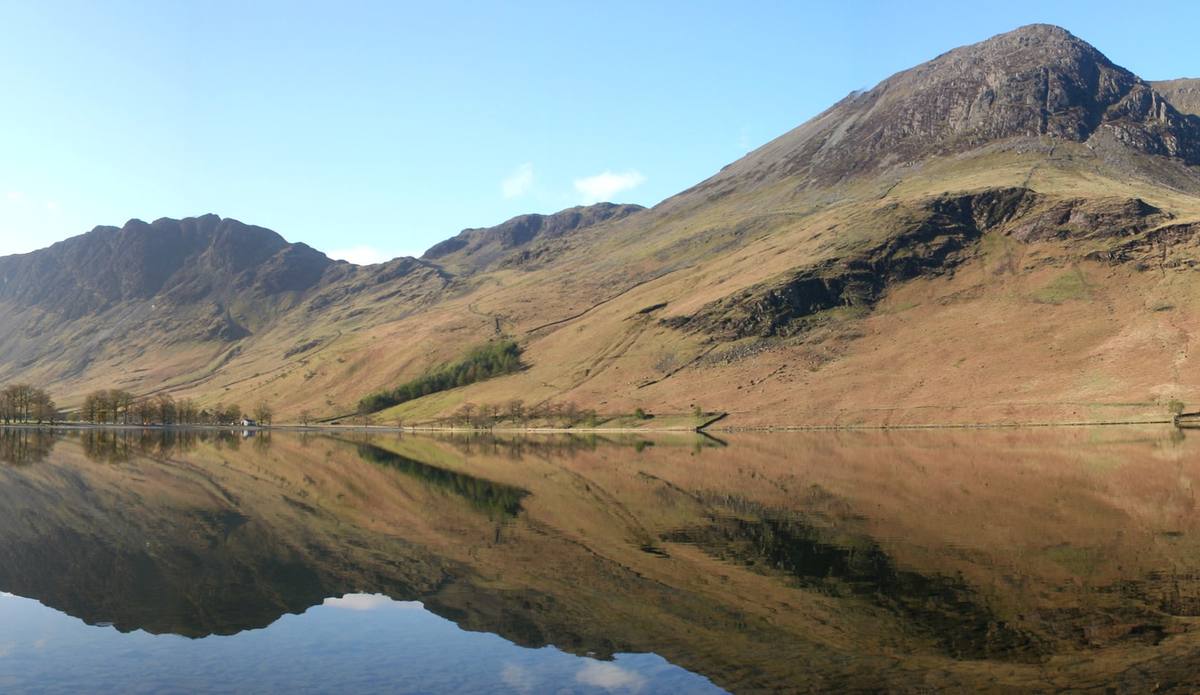
The highest mountain in England, from Seathwaite at the head of Borrowdale. Rocky, boulder-strewn and unforgiving if the weather turns.
Read more978m · eight hours
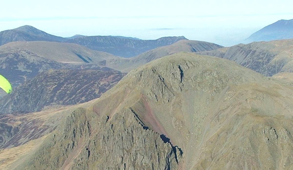
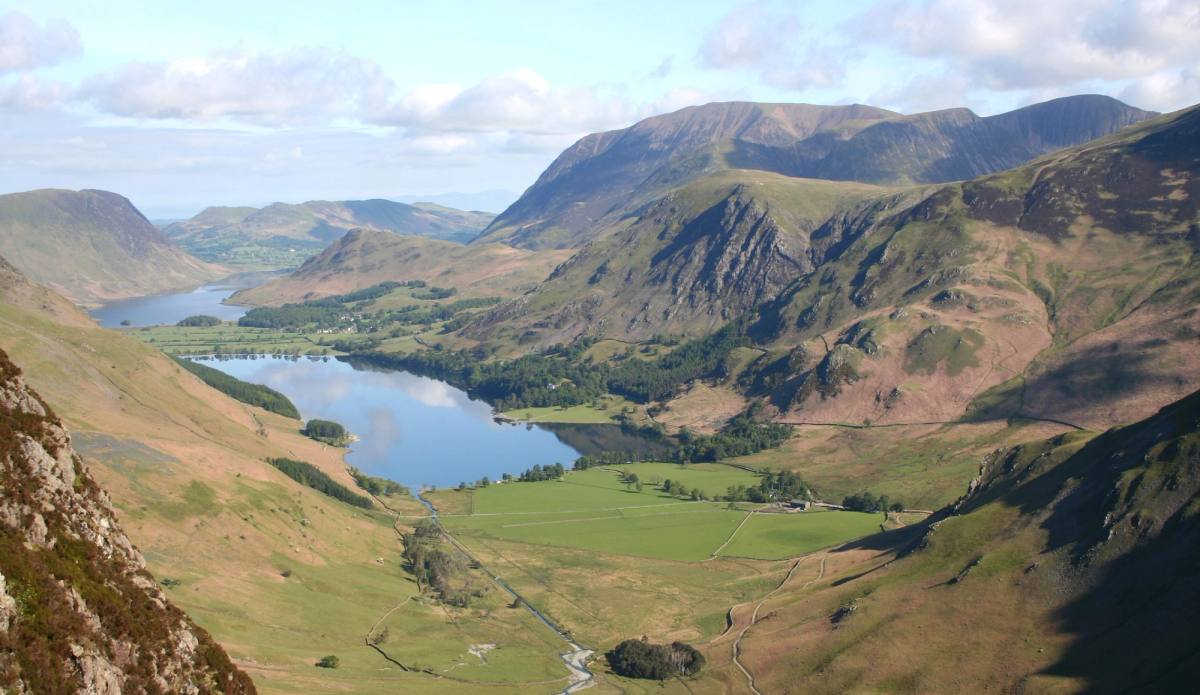
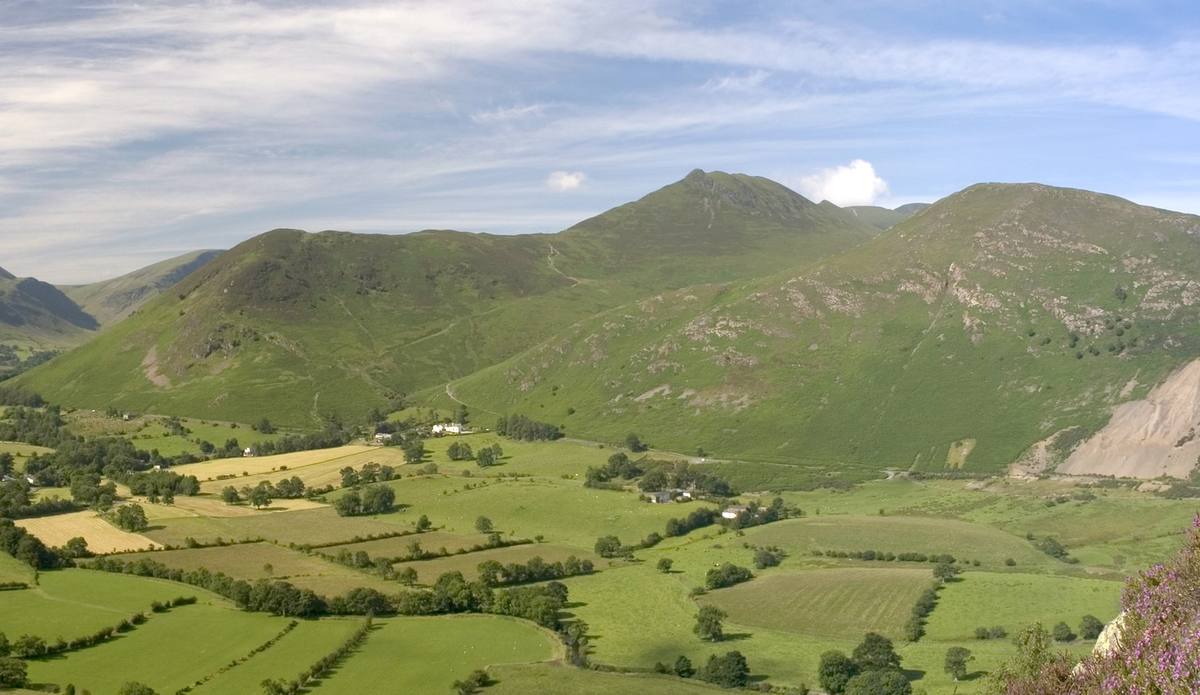
Seven volumes, 214 fells, the Completers Register — and the Northern Fells, the ones nearest Keswick, listed by height.
Read moreAll 214
Fell walks from Keswick
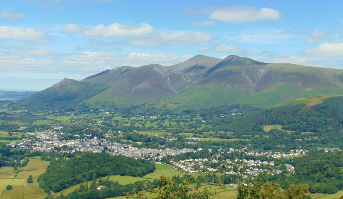
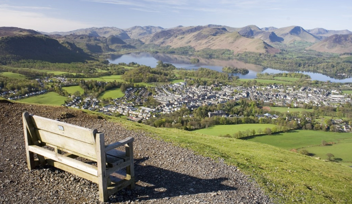
Outstanding views over Derwentwater to the fells beyond, then down to Ashness Bridge and back to Keswick along the lakeshore. 1,480 feet of ascent.
See the route6 miles · 3–4 hours
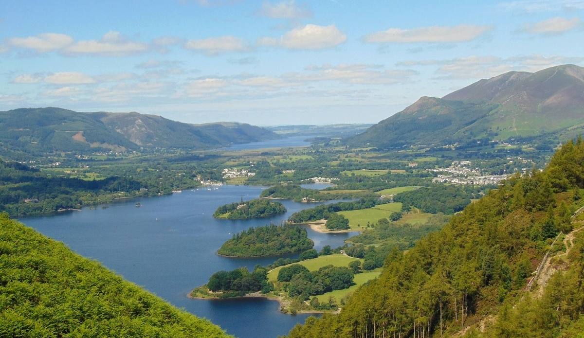
Three Wainwright summits before dropping down to Ashness Bridge. Best after dry weather — the section between Bleaberry Fell and High Seat is extremely boggy.
See the route9.5 miles · 5 hours
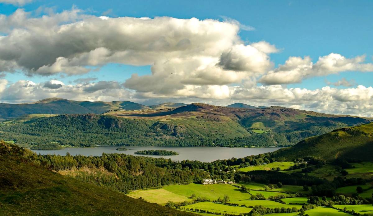
Modest at 455 metres, but with excellent views the whole way round from the summit — a great reward for not much effort. From Braithwaite village shop.
See the route3 miles · 2–2.5 hours
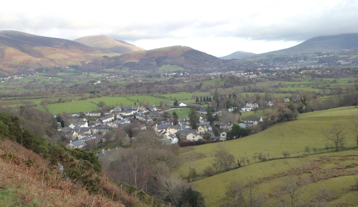
From Braithwaite over both summits, then down to Force Crag — the last working mine in the Lake District until it closed in 1990 — and a gentle descent down the Coledale valley.
See the route6 miles · 3 hours
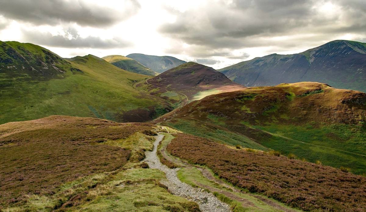
A classic Lakeland horseshoe, taking the skyline summits in one round. Coledale is a textbook U-shaped valley with no habitation in it, which gives the ridges a properly wild feel. Not to be undertaken lightly.
See the routeA full mountain day
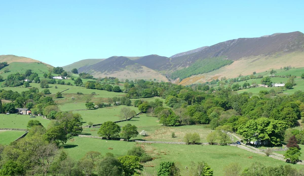
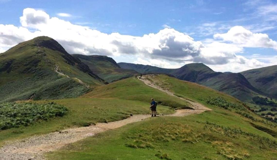
The skyline crest above Newlands — Catbells, Maiden Moor and High Spy, then west over the remoter summits of Dale Head and Robinson.
See the routeThe big one
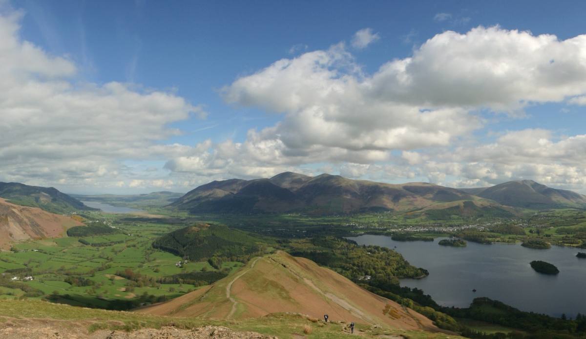
The long undulating ridge on the western side of Borrowdale, with three peaks each of a distinct profile. The drops between them are small; the walk along the crest is magnificent.
See the routeA ridge walk
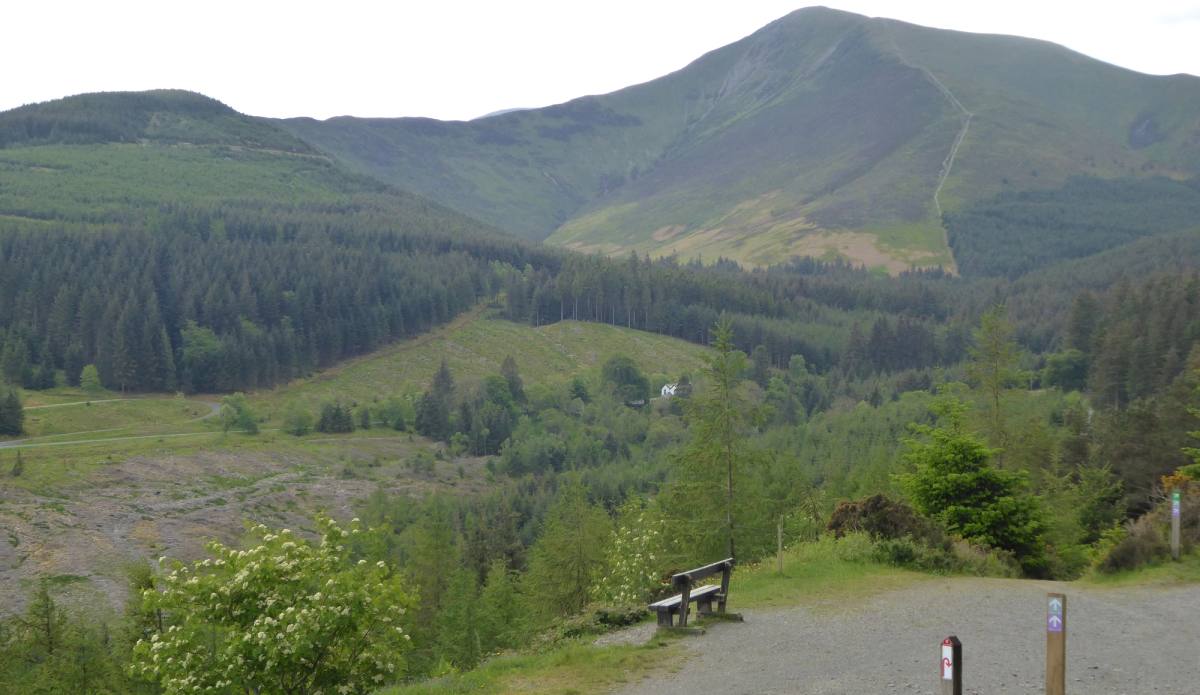
Starting from Whinlatter visitor centre gives you a leg up to both summits for relatively little effort, and the mix of forest track and open fell makes for a varied walk.
See the route5 miles · 2.5 hours
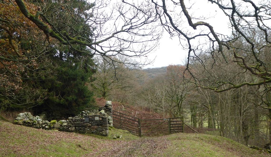
One of the lesser known fells, in a quiet area above Wythop eight miles from Keswick. Two routes — one to the summit, one round it — and neither strenuous, so both suit families.
See the route3.5 miles · 1.5–2 hours
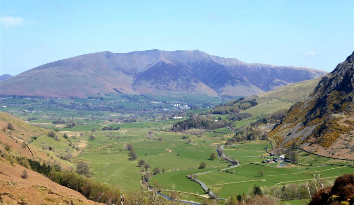
A modest 357 metres and only high beside the nearby Low Rigg. An undulating ridge with fine views of the Helvellyn and Skiddaw ranges and into Thirlmere and St John’s in the Vale.
See the route5.2 miles · 2.5–3 hours
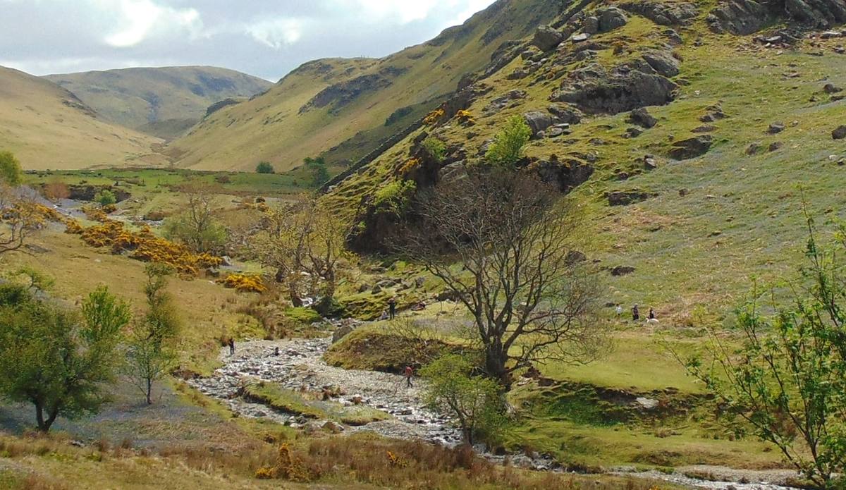
Up into the Rannerdale valley, round the base, then up the short but steep Knotts and along the ridge with lovely views towards Buttermere. Best in the second week of May, for the bluebells.
See the route4.5 miles · 2.5–3 hours
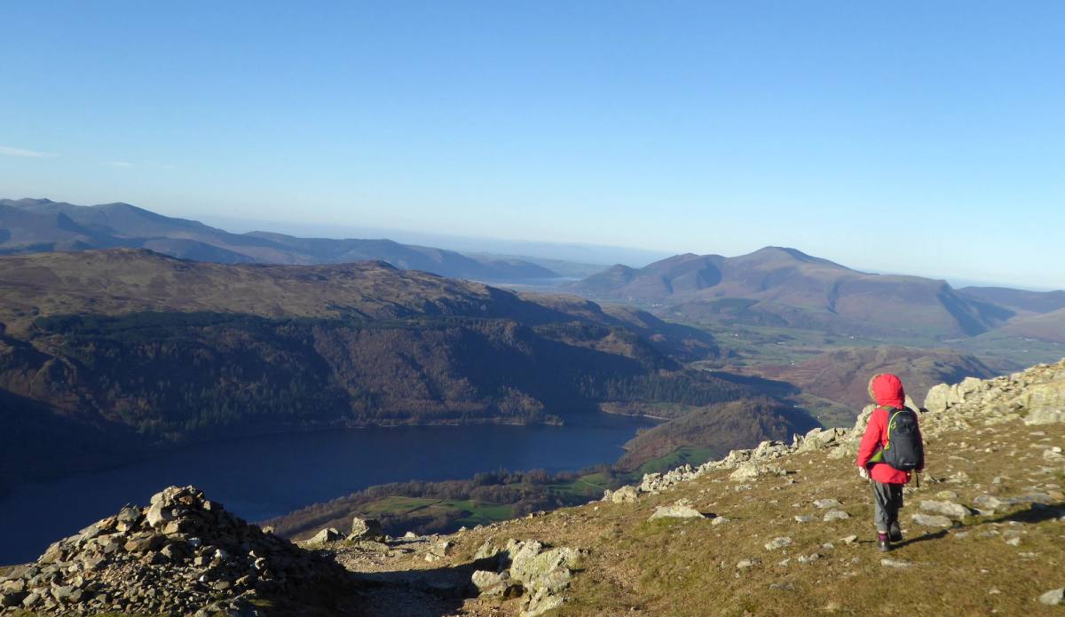
Two hours of solid ascent on engineered paths, avoiding the scrambling of Striding Edge and Swirral Edge on the eastern side. Up and back the same way, or on over Nethermost Pike and Dollywaggon.
See the routeThe easy way up