
The circle
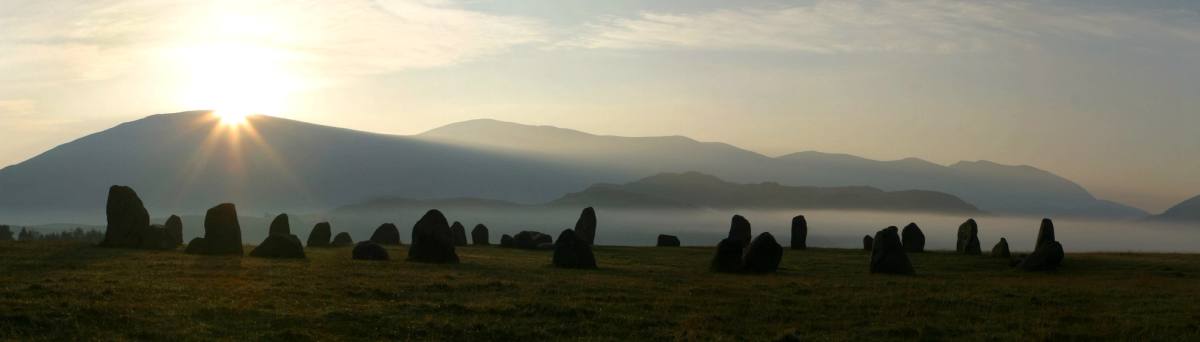
One of Britain’s most impressive prehistoric monuments sits on a low hill east of Keswick with a ring of mountains around it. Castlerigg is among the earliest stone circles in Britain and is important in terms of megalithic astronomy and geometry.
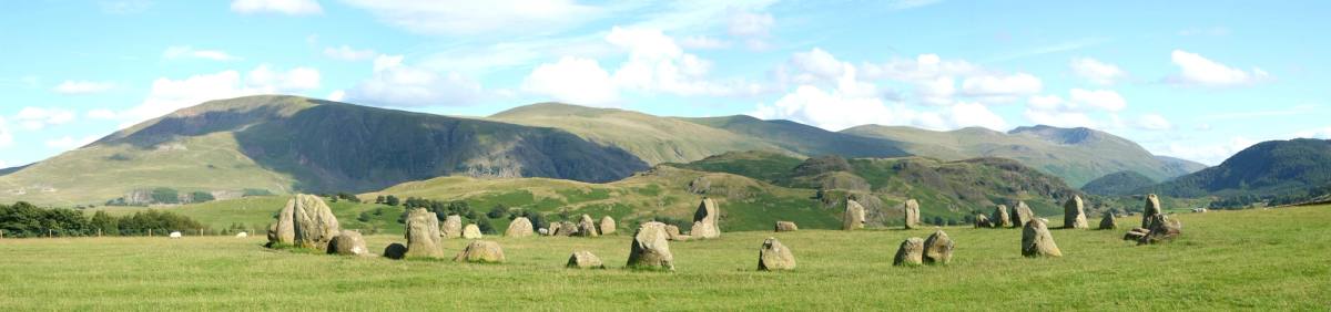
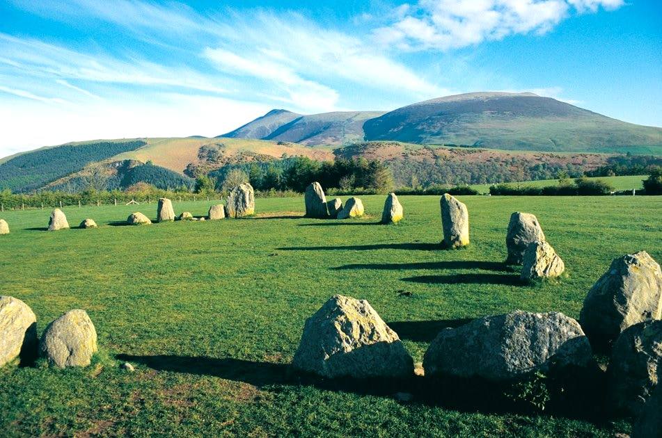
It stands on a superb natural plateau commanding a 360-degree view of the surrounding fells, and is composed of 38 free-standing stones, some up to three metres high. It dates from the Neolithic period, four to five thousand years ago. Try counting the stones — and see whether you get the same number twice.
Nobody knows what it was for
The original purpose of the site is unknown. It could have been a trading post — three stone axes have been found inside the circle, and in the Neolithic period axes were made from volcanic stone quarried in these fells.
Other possibilities are a meeting place for social gatherings, a site for religious ceremony and ritual, or an astronomical observatory with the stones aligned to the sun, moon and stars.
How it came to be protected
Castlerigg was one of the first sites covered by the Ancient Monuments Protection Act in 1888, and in 1913 it was acquired by the National Trust through the efforts of Canon Rawnsley. It stands on National Trust land and is maintained by English Heritage.
The circle is 1.5 miles south-east of Keswick — grid reference NY291236, what3words: deodorant.pinks.pounce. There is limited free roadside parking at the site and admission is free. There is also a circular walk from Keswick if you would rather not drive.
The Roman camp next door
A Roman camp said to be of national significance has been found on the outskirts of Keswick, close to the stone circle, and is thought to date from the first century. Historians had always expected a Roman presence here; what turned up was the underground remains of a structure the size of eight football pitches.
The find came by chance. A team of volunteers working with the Bassenthwaite Reflections programme were searching for a second stone circle, or a fourteenth-century castle, at the prehistoric site. Using magnetometers — which detect buried walls — they stumbled on a giant enclosure two miles east of the town, 200 metres square with distinctive curved corners.
The archaeologist who found it
“It could have been an important part of the first push to Romanise the area, perhaps as early as 70 AD — a militarisation that extended across the county for 300 years. It possibly serviced campaigns into Scotland and acted as a base for soldiers heading north, or withdrawing.”
Mark Graham
Archaeologist, on the camp’s likely purpose
Visiting
English Heritage has been informed of the camp, and there are no immediate plans for a formal dig — which would be the only way to date the structure accurately, and might turn up artefacts. For now there is nothing to see: the land was ploughed until thirty years ago and is used for hay and grazing.
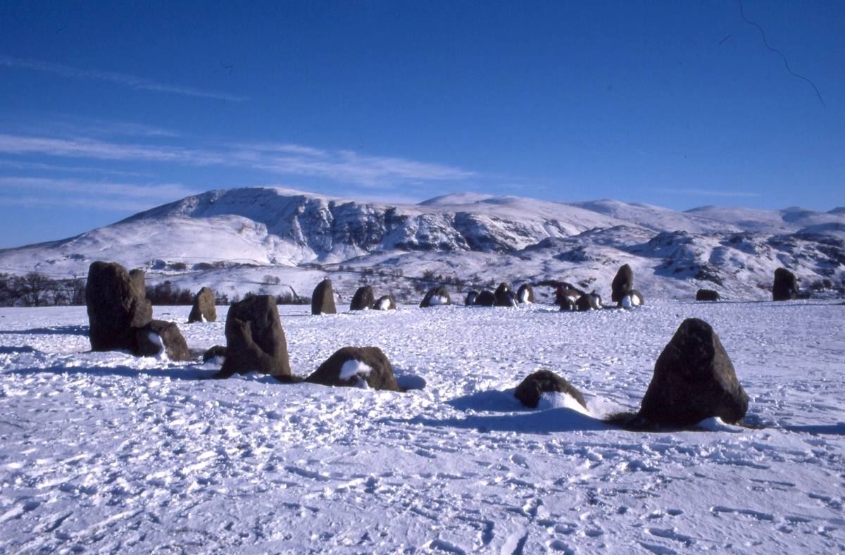
The circle itself is open at all times and costs nothing. It is at its best early, before the roadside fills up, and in winter — when the stones stand out of the snow and the fells behind them are white.
Map
- Castlerigg Stone Circle
- Keswick
- St John's in the Vale
- Threlkeld