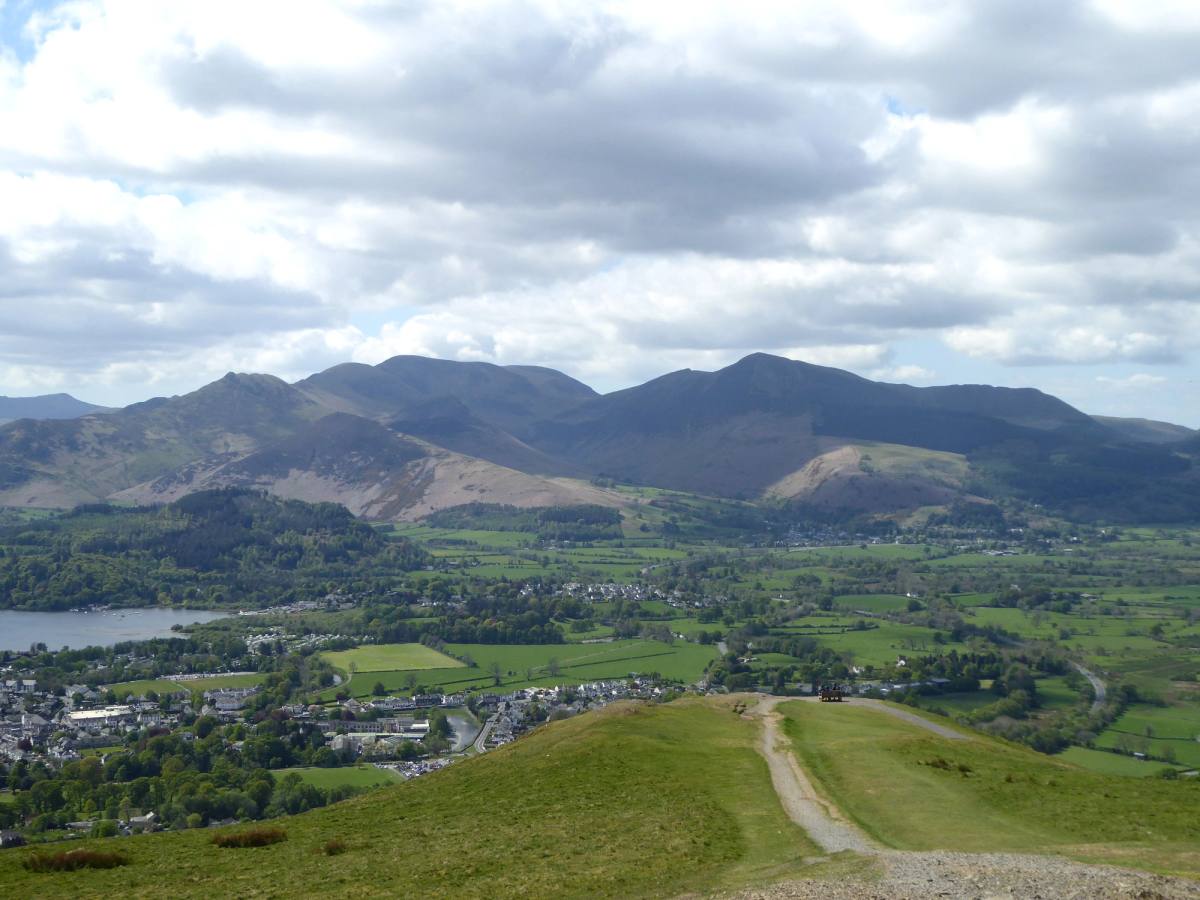

This circular route takes you along the railway path and then via Brundholme Woods up to the summit of Latrigg before dropping back down into Keswick.
The walk
- Starting point
- War Memorial Keswick (what3words ///tadpole.florists.stun)
- Distance
- c. 6.5 miles
- Time
- 2.5 – 3 hours
Map
- War Memorial Keswick
From the war memorial head along Station Road. Cross the bridge over the river Greta and continue on the road between Upper and Lower Fitz Park. Just as the road bends to the right take a path on your left up to Keswick Leisure Pool. Take the path round the right-hand side of the swimming pool and then turn right on to the old railway line path soon passing the old railway station now part of the Keswick Country House Hotel.
Follow the railway path, after some time passing through a tunnel. Just past the tunnel you will see the caravans at Low Briery Holiday Park. Once past the holiday park cross a bridge and then just before the next bridge take the path on your left signposted Brundholme Road.
The path heads uphill. Very shortly take a small path off to the right. Follow the path through the woods above the river. Once over a bridge the path climbs and drops again. Ignore a stepped path down to your right and keep on the same path. At a fork turn left and follow the path uphill. Continue this path as it winds upwards to meet Brundholme Road.
Turn right onto the metalled road. The road is level initially and then starts to climb. At the top turn left over a stile signposted Skiddaw Shortly leave the road by a choice of gate or stile on your left signposted Skiddaw. Take the larger path to the right signposted Latrigg and Skiddaw.
Keep on this uphill path until you come to a gate. Immediately through the gate fork left off the path to head up a faint grassy path. Continue to follow this path through a gate and up to the summit. There are fantastic views over Keswick, Derwentwater and the surrounding mountains.
The path continues down to a bench. Although a great vantage spot it is not always the best spot for a picnic as it can be quite windy. Continue now downhill. When the path forks take the left one. Follow the path as it zigzags its way down taking care as this part can often be muddy.
On reaching a T-junction in the path turn left to walk downhill alongside a tree plantation. Follow the path all the way down through a gate, over 2 streams and through a second gate at Spooney Green before crossing the bridge over the A66. A short distance after this the path meets the road.
At the road turn right and continue for 300 metres. Turn left off the road through a gate into Fitz Park. Turn left along the path and carry on passing the BMX track.
At the bottom of the hill turn right and then shortly turn left to walk alongside the river. At the corner of the park go up the steps to leave by a gate and turn right back to the start.
More walks from Keswick are on the walking routes index. For what to take and what the weather is doing, see safety on the fells.
Start your trip here
Plan your perfect escape with our Keswick guide. From places to stay and things to do, where to eat, explore and unwind.