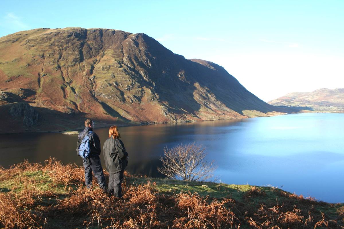

The lakes and mountains surrounding Keswick are one of the best places in the UK for hiking and walking. Skiddaw, Latrigg, Walla Crag, Castlehead, Castlerigg Stone Circle and the walk round Derwentwater can all be started from the town centre.
Using the local buses opens up a good deal more — see getting to Keswick. Before you set off, safety on the fells covers what to take and how to check the weather.
Walks marked Car free can be reached on foot from the market square or by local bus — the ones KTA list, with the bus you need. Others may well be reachable too; these are the ones with a route we can point you at.
Where these walks go
A pin for each walk, on the fell, tarn or valley it reaches rather than where it sets off — eight of these start from the Moot Hall. Walks that go to the same place share a pin; the full list is below.
Map
- A short walk in the Newlands Valley
- Barrow Fell
- Bowscale Tarn
- Buttermere and Scale Force
- Castle Crag from Seatoller
- Castlerigg Stone Circle and Tewet Tarn
- Castlerigg Stone Circle from Keswick
- Catbells
- Dodd Wood
- Dubwath Silver Meadows
- Great Wood and Derwentwater
- Helvellyn from Thirlmere
- High Rigg
- High Spy, Maiden Moor and Catbells
- Keswick to Applethwaite and Millbeck Circular Walk
- Keswick to Calfclose Bay Circular Walk
- Keswick to Rosthwaite walk via Ashness Bridge, Surprise View and Watendlath
- Keswick to Threlkeld Railway Path
- Langstrath Valley
- Latrigg from Keswick
- Latrigg via the Railway Path
- Lords Seat and Barf from Whinlatter Visitor Centre
- Loweswater Terrace
- Outerside and Stile End from Braithwaite
- Rannerdale Knotts and the Valley of the Bluebells
- Rosthwaite Circular Walk and Millican Dalton's Cave
- Rosthwaite, Watendlath, Grange in Borrowdale Circular Walk
- Sale Fell
- Skiddaw via Jenkin Hill
- Tewet Tarn from Threlkeld Quarry
- The Coledale Round
- The Derwentwater Walk
- The Newlands Round
- Threlkeld Circular Walk
- Walla Crag
- Walla Crag, Bleaberry Fell and High Seat
37 walks
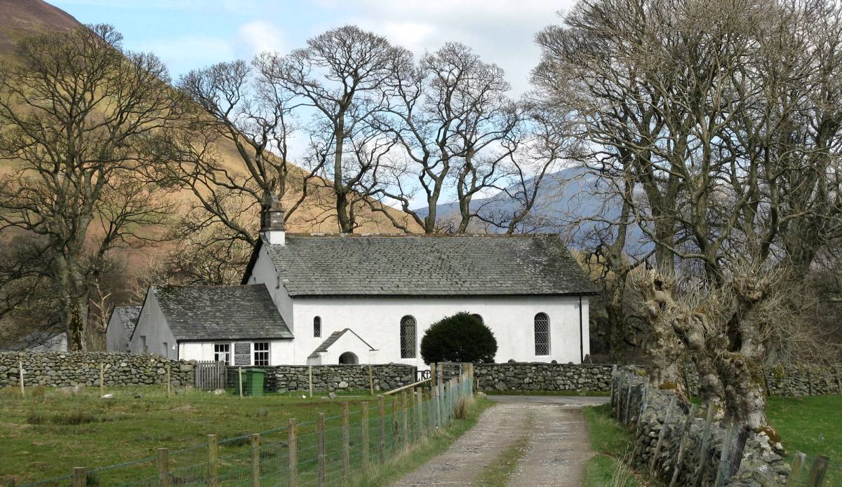
This may be just a short walk but it takes the walker into a quiet, relatively unknown part of the Newlands valley - with an insight into the mining h
See the route1.5 miles
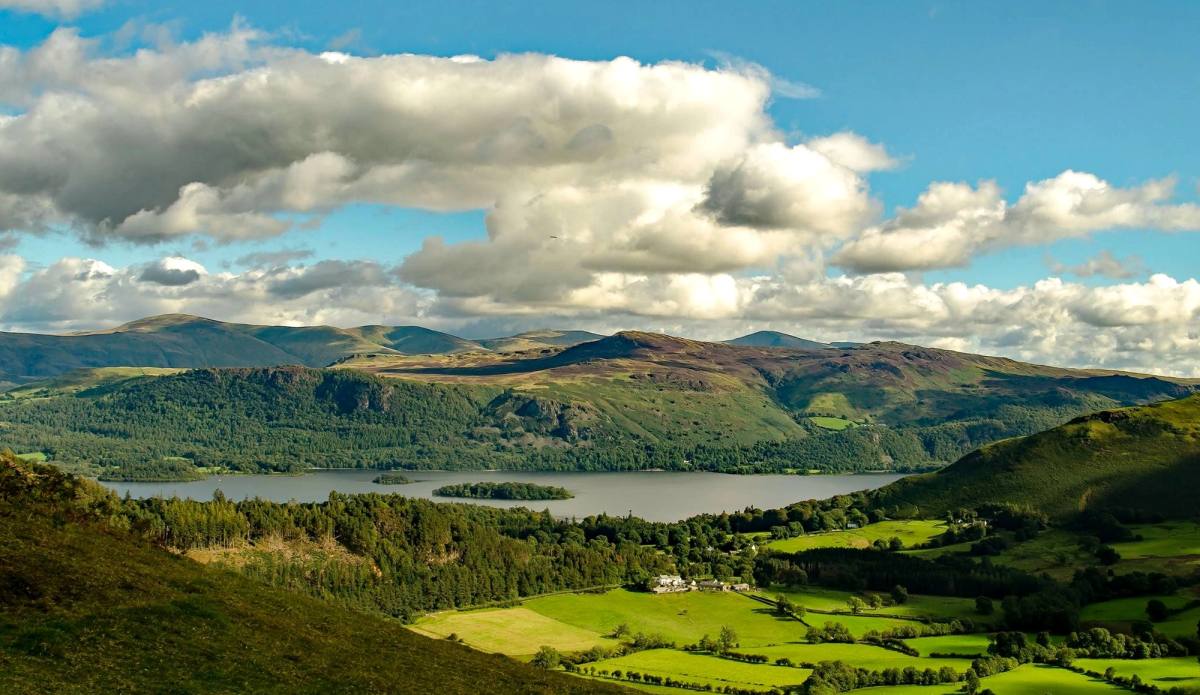
Although Barrow Fell is of modest height at 455 metres there are excellent 360 degree views from the summit, a great reward for not too much effort. I
See the route3 miles · 2 to 2.5 hours
Car free — bus X4 or X5
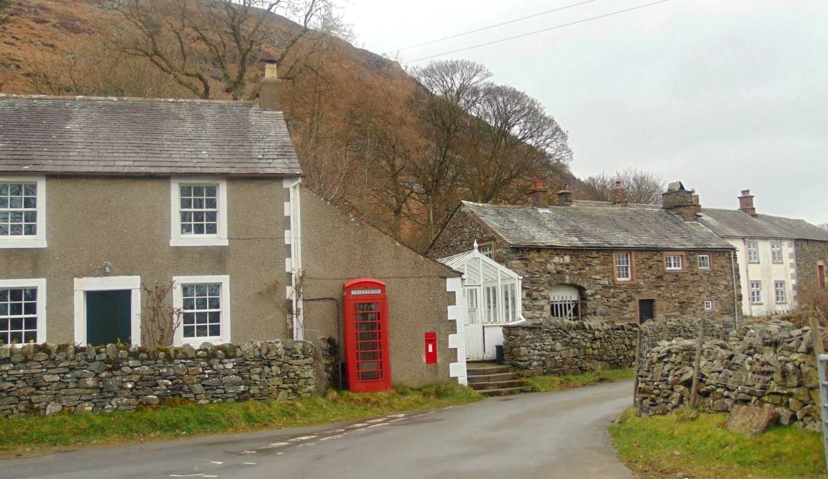
A lovely walk up to an isolated tarn and back through the valley. Mosedale is a small village 4 miles off the A66 between Keswick and Penrith. After l
See the route4 miles · 3 hours
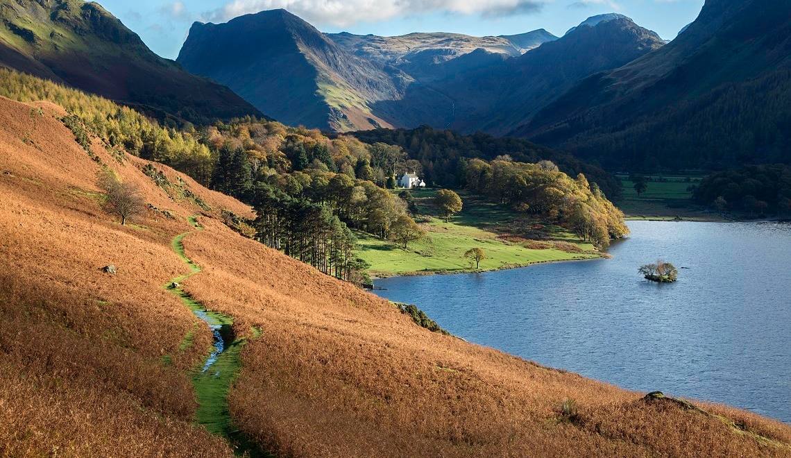
A lovely walk around Buttermere with the option to extend the route to the highest waterfall in the Lake District - Scale Force. The footpaths around
See the route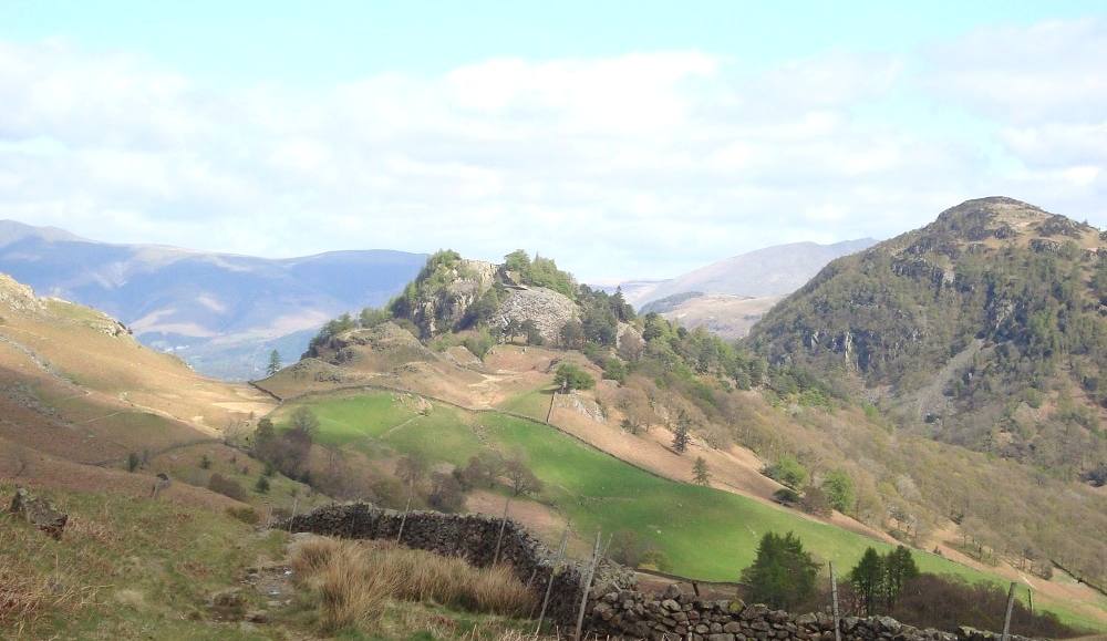
A scenic walk to the summit of the smallest of Wainwright's fells. This route follows the terrace path above the lovely Borrowdale Valley. A short div
See the route5 miles · 3 hours
Car free — bus 78
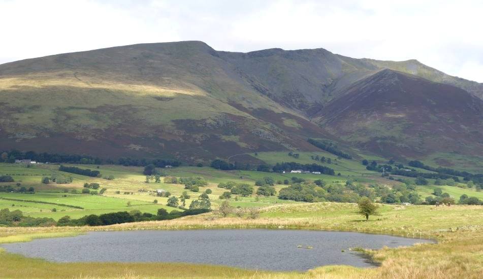
This Lake District walk starts and finishes at Castlerigg Stone Circle just outside Keswick passing the tiny isolated church at St John's in the Vale
See the route3.5 miles · 2.5 hours
Car free — on foot
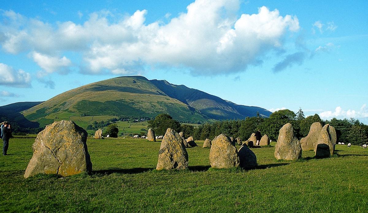
A short walk with fine views to the surrounding fells setting out along the old railway path, going up the lane to the Stone Circle and returning via
See the route4 miles approx · 2 hours
Car free — on foot
do
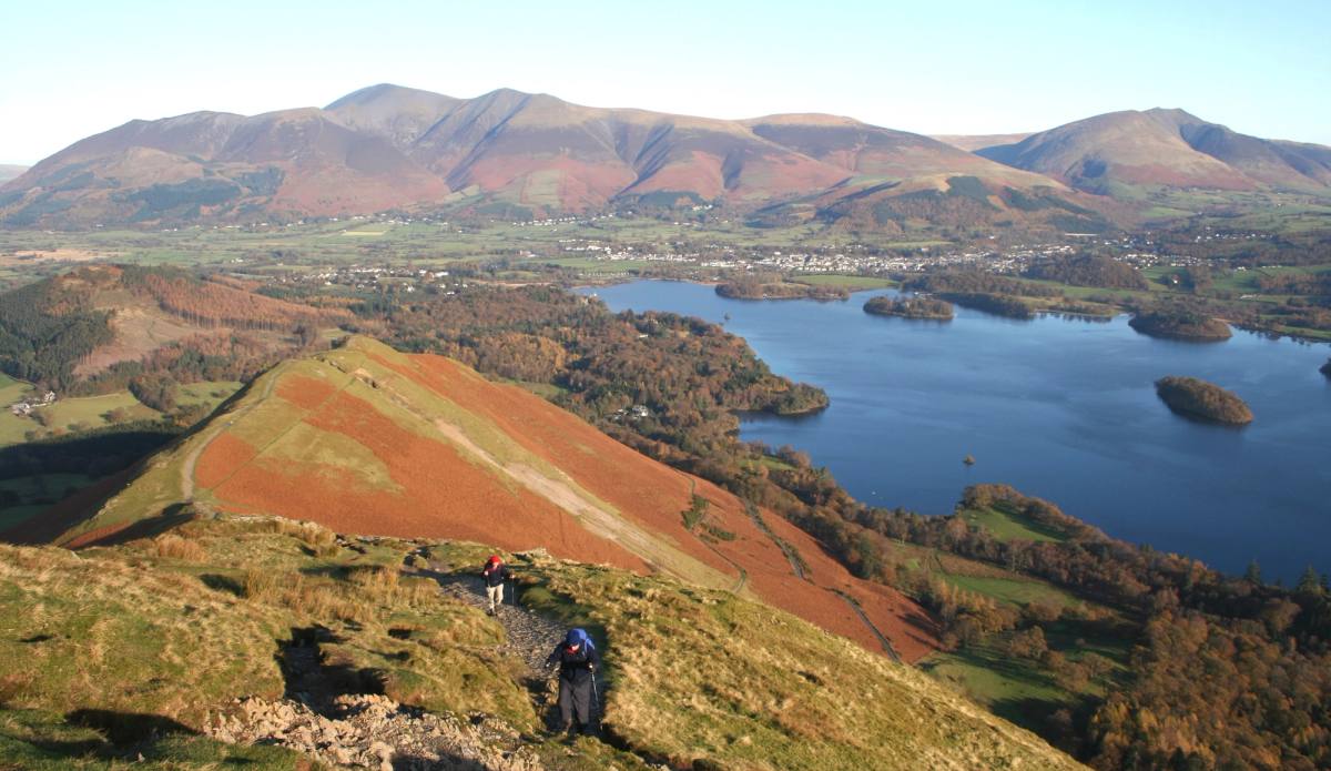
Catbells
Panoramic views over Keswick, Derwentwater and Borrowdale from the start. Allow around three hours for the walk, plus time to stop and enjoy them.
See the route~3.5 miles · ~3 hours
Car free — on foot
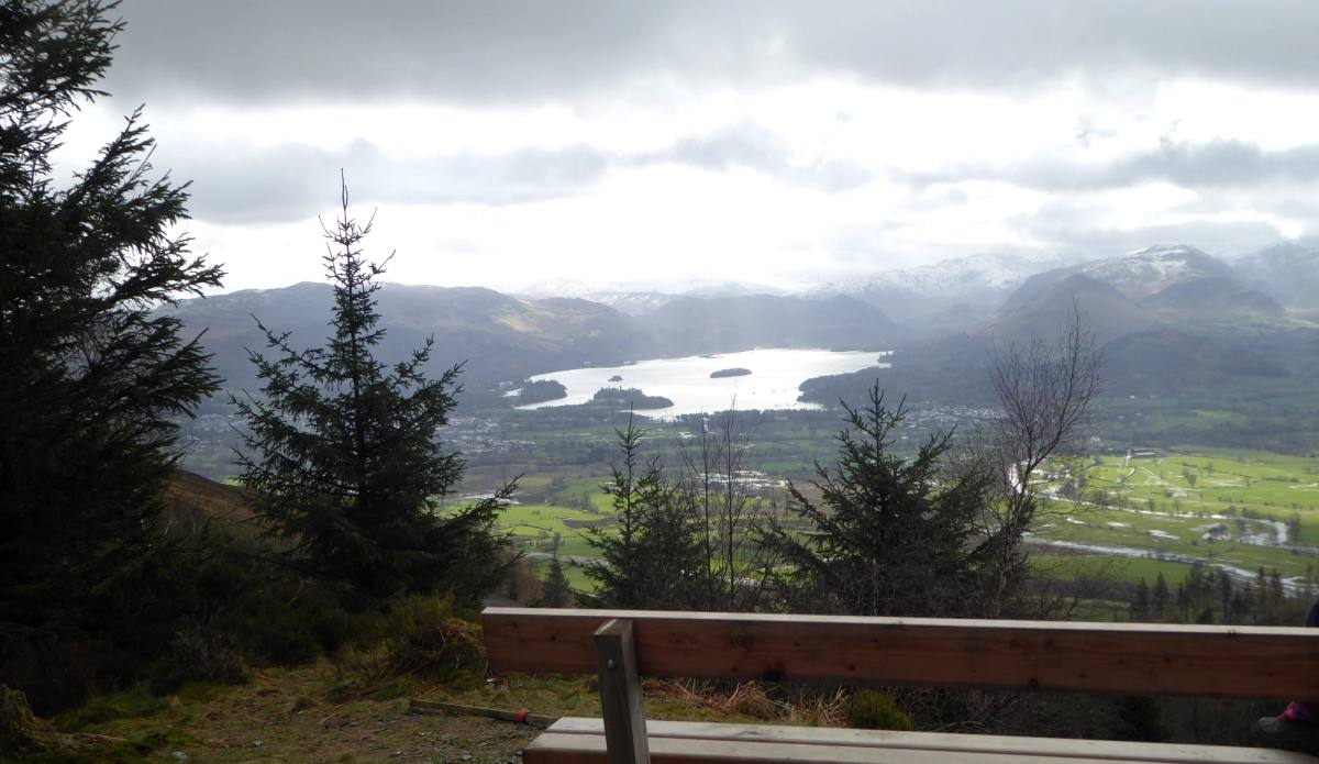
A few miles north of Keswick is Dodd Wood, an area of woodland managed by the Forestry England, where you'll find a network of waymarked trails throug
See the route3 miles · 2-3 hours
Car free — on foot
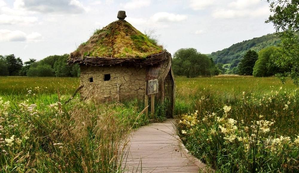
Dubwath Silver Meadows is a traditional wetland site located near the west end of Bassenthwaite Lake. Maintained by volunteers, it is a peaceful area
See the route2.5 km · ~1 hour
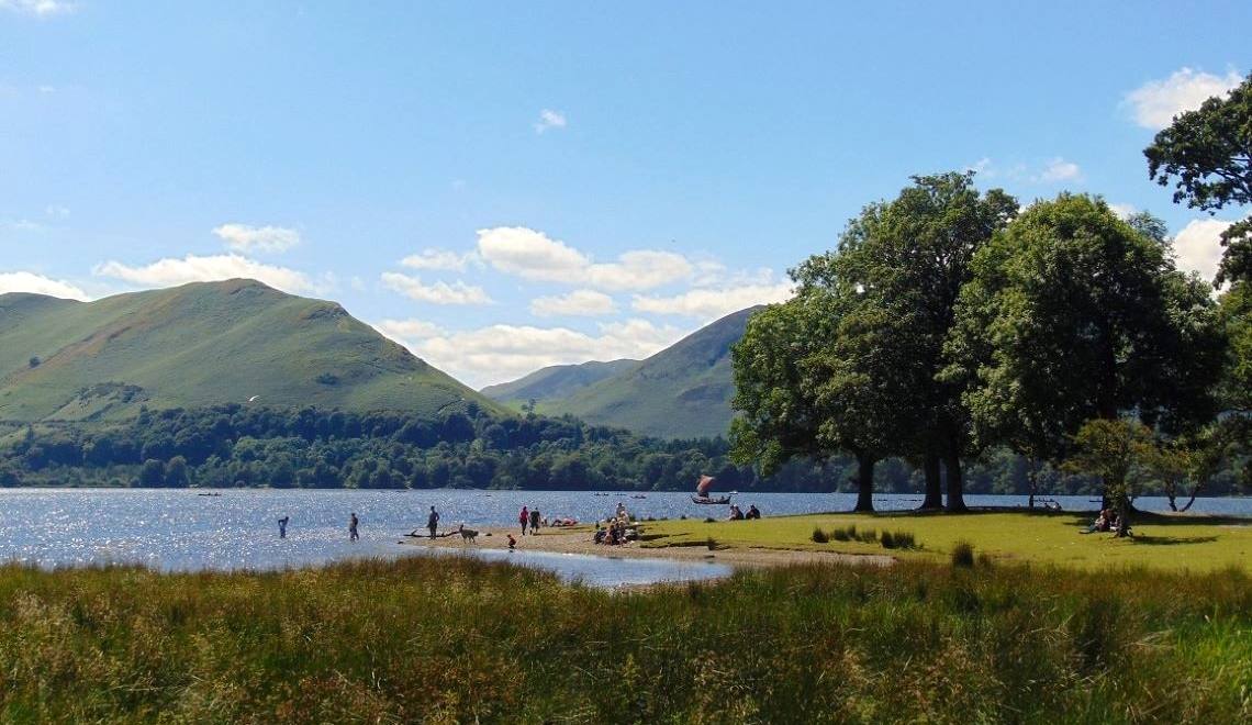
Enjoy this lovely walk up through Great Wood beneath Walla Crag and back along the lakeshore with fine views over Derwentwater to Catbells. A less str
See the route4.3 miles · 2.5 hours
Car free — on foot
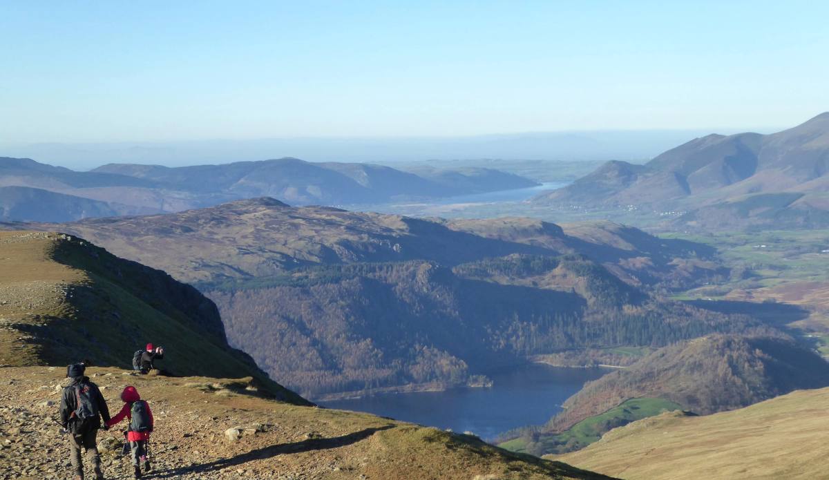
A sustained climb without Striding Edge. Choose the 4.5-mile out-and-back (3½–4 hours) or the 9-mile circuit (5–6 hours).
See the route4.5 or 9 miles · 3½–6 hours
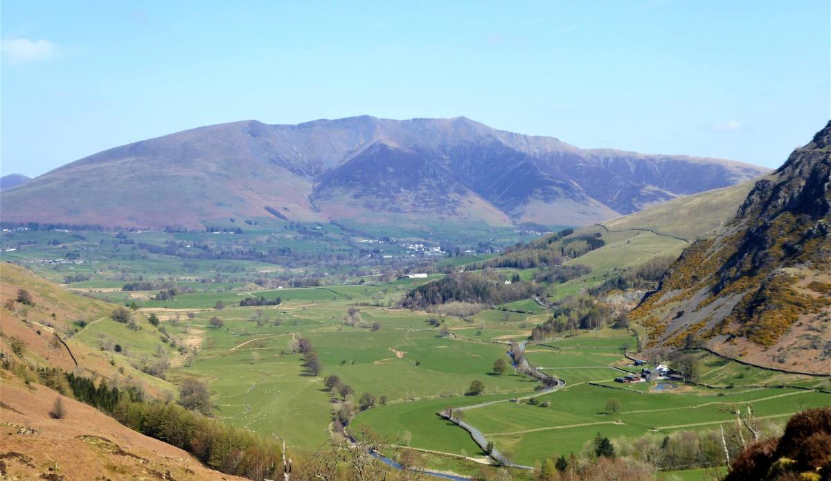
Although named High Rigg the fell stands at a modest 357m and is only high in comparison to the nearby Low Rigg. An undulating ridge walk there are fi
See the route5.2 miles · 2.5 to 3 hours
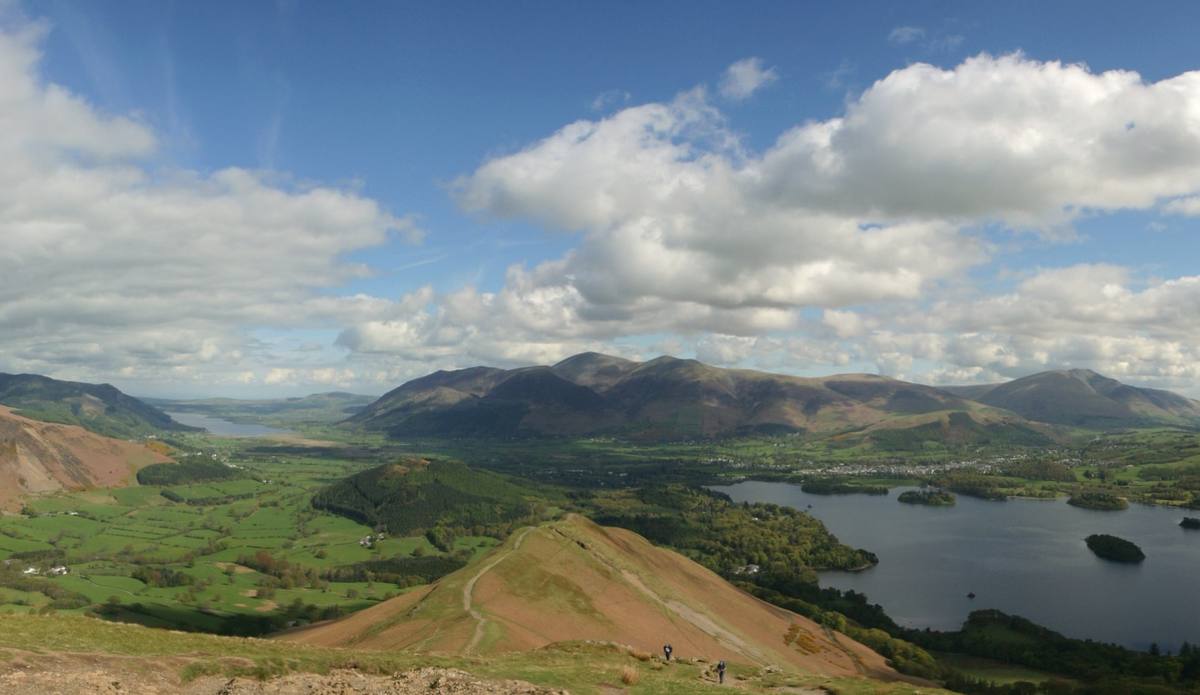
The western side of Borrowdale is a long undulating ridge occupied by three attractive little peaks, High Spy, Maiden Moor and Cat Bells. Each one of
See the route9 miles (14.6km) · 5 - 6 hours
Car free — bus 78
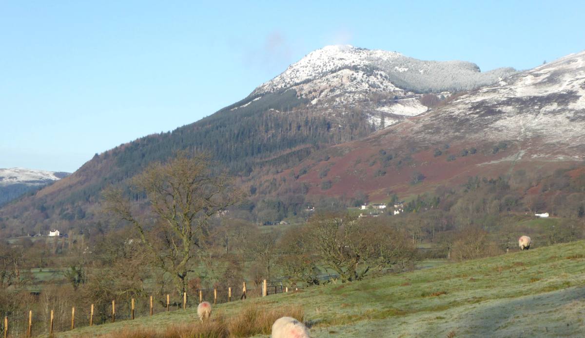
This low level walk takes you via field paths to the villages of Applethwaite and Millbeck just outside Keswick and back along the terrace road linkin
See the route4.5 miles · 2 - 2.5 hours
Car free — on foot
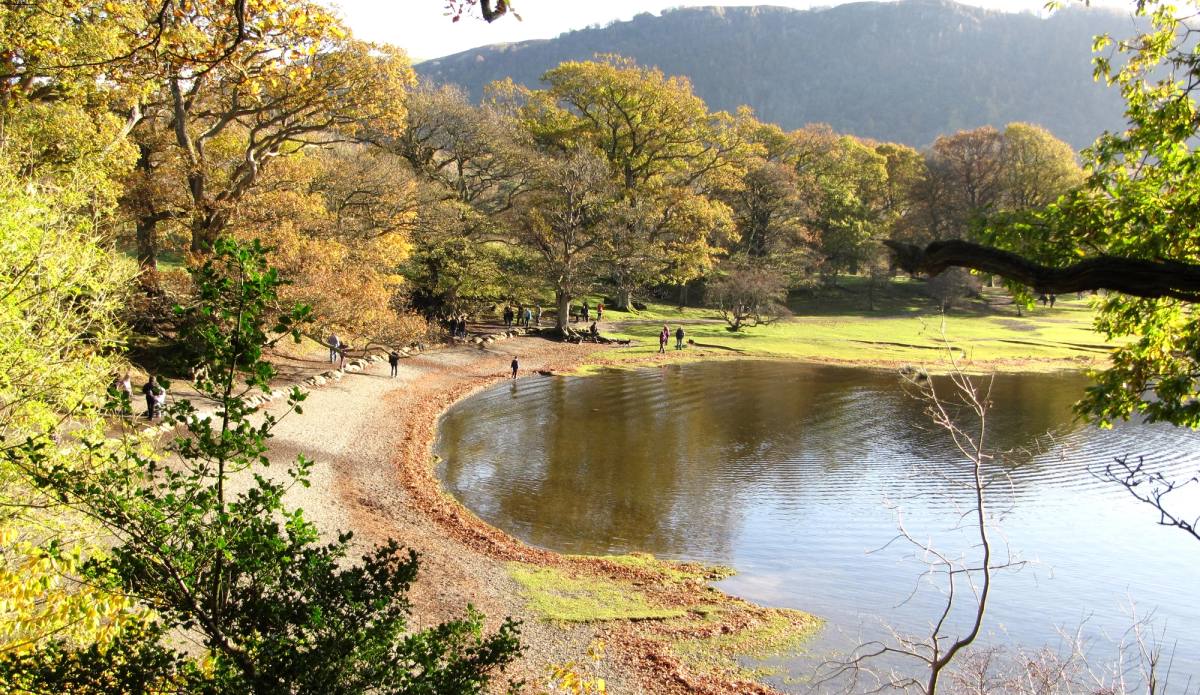
Follow the woods to Calfclose Bay, then return along Derwentwater’s shore. Allow extra time to stop and enjoy the lakeside views.
See the route3.5 miles · 1½ hours
Car free — on foot
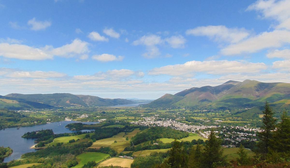
A 7.5 mile linear walk, full of interest, starting from Keswick, taking in Walla Crag, Ashness Bridge and Surprise View, with its fantastic vantage po
See the route7.5 miles · 4 hours
Car free — on foot
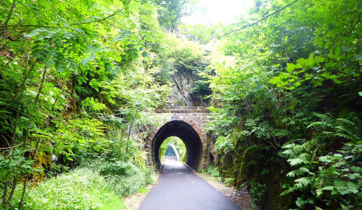
The Keswick to Threlkeld trail re-opened on Saturday 5 December 2020, on the fifth anniversary of Storm Desmond. The trail has now been strengthened a
See the routeCar free — on foot
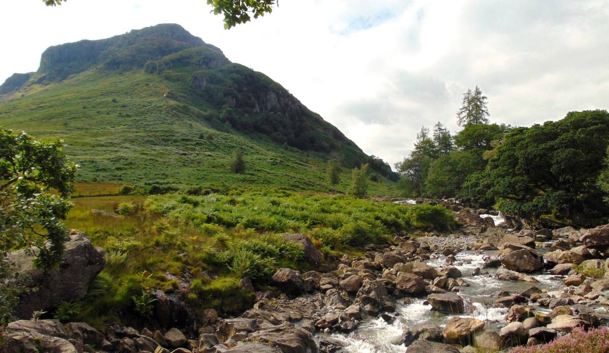
A low-level walk from Rosthwaite through contrasting valley scenery and striking river features. Allow about 3½ hours’ walking for the full route.
See the route~5.5 miles · ~3½ hours
Car free — bus 78
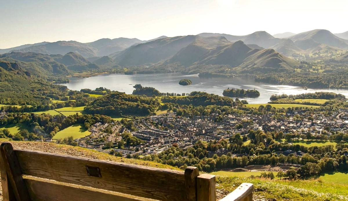
Latrigg is Keswick's own fell and one for the 'must-do' list for your visit to Keswick. The views from the summit over Keswick town, Derwentwater and
See the route3 miles · 2 to 2.5 hours
Car free — on foot
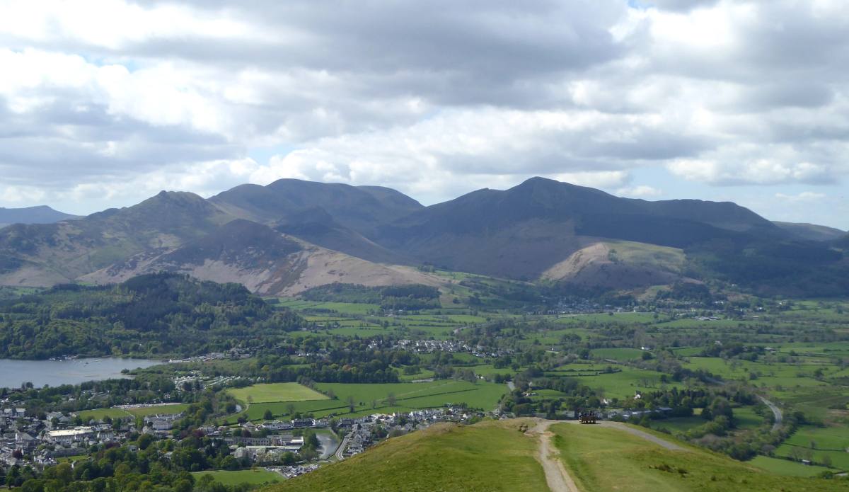
This circular route takes you along the railway path and then via Brundholme Woods up to the summit of Latrigg before dropping back down into Keswick.
See the routec. 6.5 miles · 2.5 – 3 hours
Car free — on foot
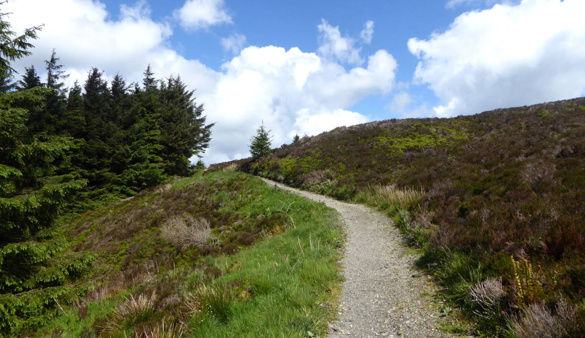
Starting this walk from Whinlatter Visitor Centre gives you a leg up to reach the summits of Lord's Seat and Barf where you are rewarded with magnific
See the route5 miles · 2.5 hours
Car free — bus 77 or 77A
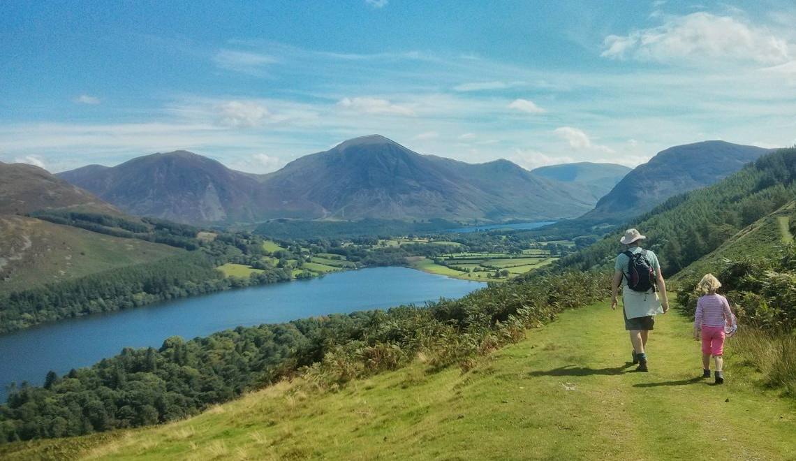
This route takes you along the terrace path above Loweswater returning with a gentle stroll back along the lakeshore. You can do the walk either way r
See the route5.5 miles · 2.5 - 3 hours
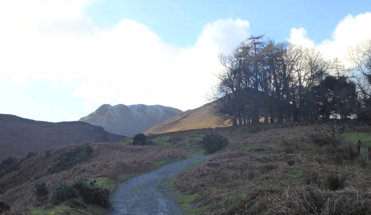
Starting from the village of Braithwaite this 6-mile route takes in the summits of Stile End and Outerside before dropping down to Force Crag, the las
See the route6 miles · 3 hours
Car free — bus X4 or X5
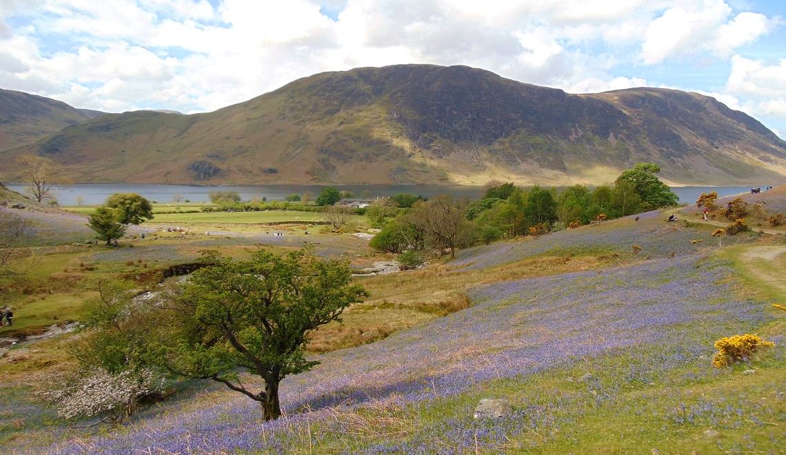
A walk up into the Rannerdale Valley, round the base and then up the fairly short but quite steep Rannerdale Knotts, along the ridge with lovely views
See the route4.5 miles · 2.5 - 3 hours
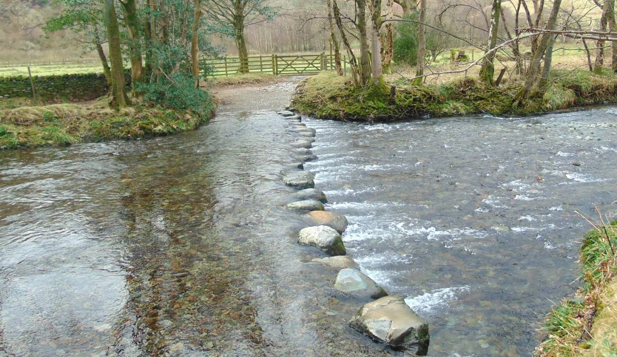
A lovely circular walk from Rosthwaite, to the base of Castle Crag (with the option of climbing to the summit), onto Millican Dalton's Cave and then r
See the route3.5 miles · 2.5 - 3 hours
Car free — bus 78
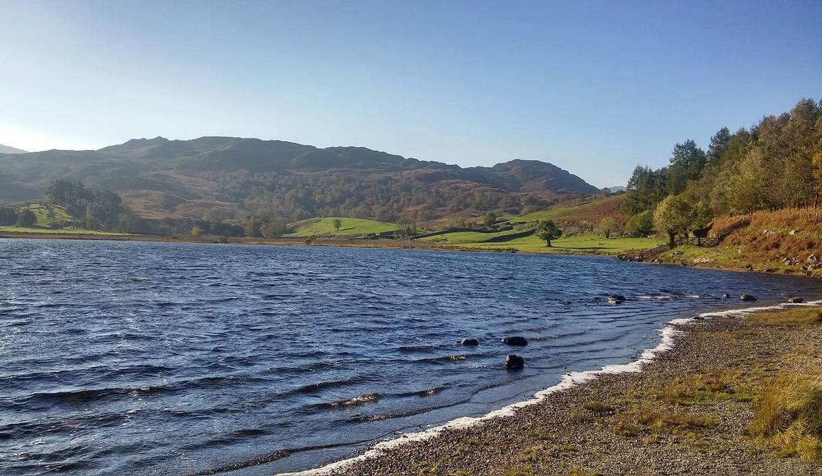
A circular walk starting from the village of Rosthwaite in the Borrowdale Valley near Keswick. The route heads up and over to the hamlet of Watendlath
See the route7.5 miles · 4 - 4.5 hours
Car free — bus 78
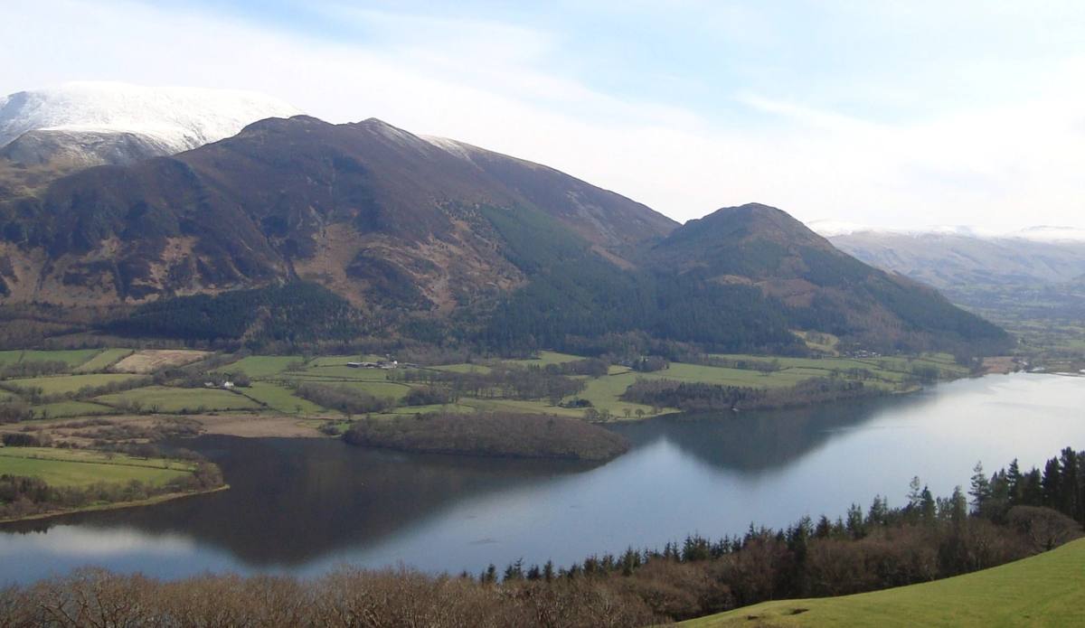
Sale is one of the lesser known fells and is situated in a quiet area above Wythop some 8 miles from Keswick. It is definitely an area to put on your
See the route3.5 miles · 1.5 to 2 hours
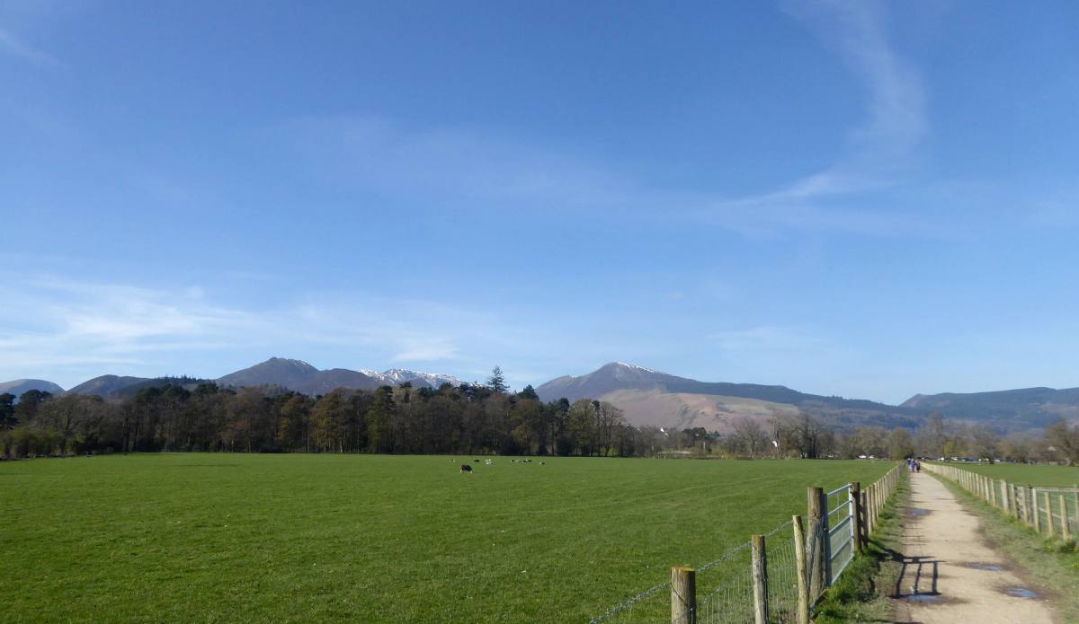
The mighty Skiddaw and its neighbouring peaks provide a magnificent backdrop for Keswick. Skiddaw, at 931m, 3054'), is the fourth highest mountain in
See the route10 miles · 5 - 6 hours
Car free — on foot
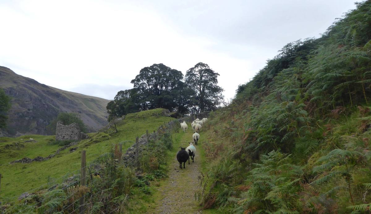
A low-level circular walk through peaceful St John's in the Vale starting from Threlkeld Quarry and visiting the very photogenic Tewet Tarn, with Blen
See the route6.5 miles · 3 hours
Car free — bus X4 or X5
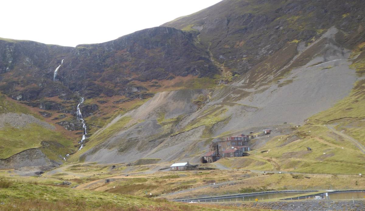
From Keswick the peaks surrounding Coledale are an intriguing sight and many are linked at a high level making them ideal for a skyline walk that gain
See the route11 miles (17.5km) · 7 - 8 hours
Car free — bus 77 or 77A
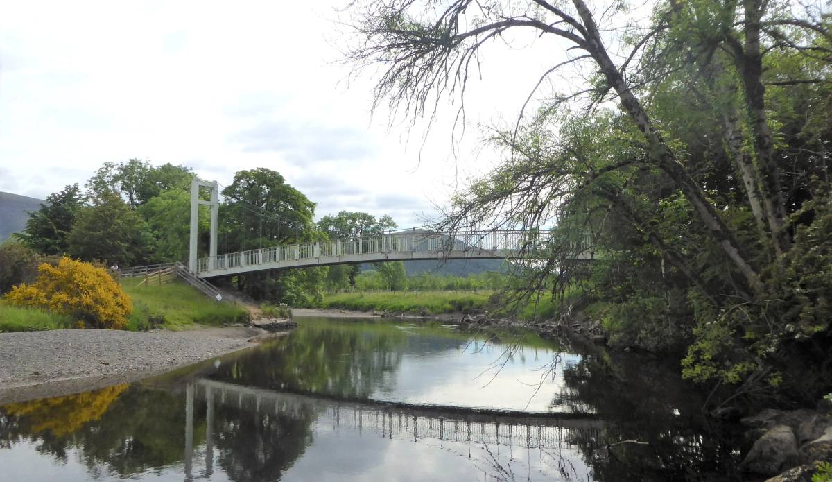
This 112km route passes right through Keswick and was devised by local Ramblers Association members in the 1970's. The entire route is way marked than
See the route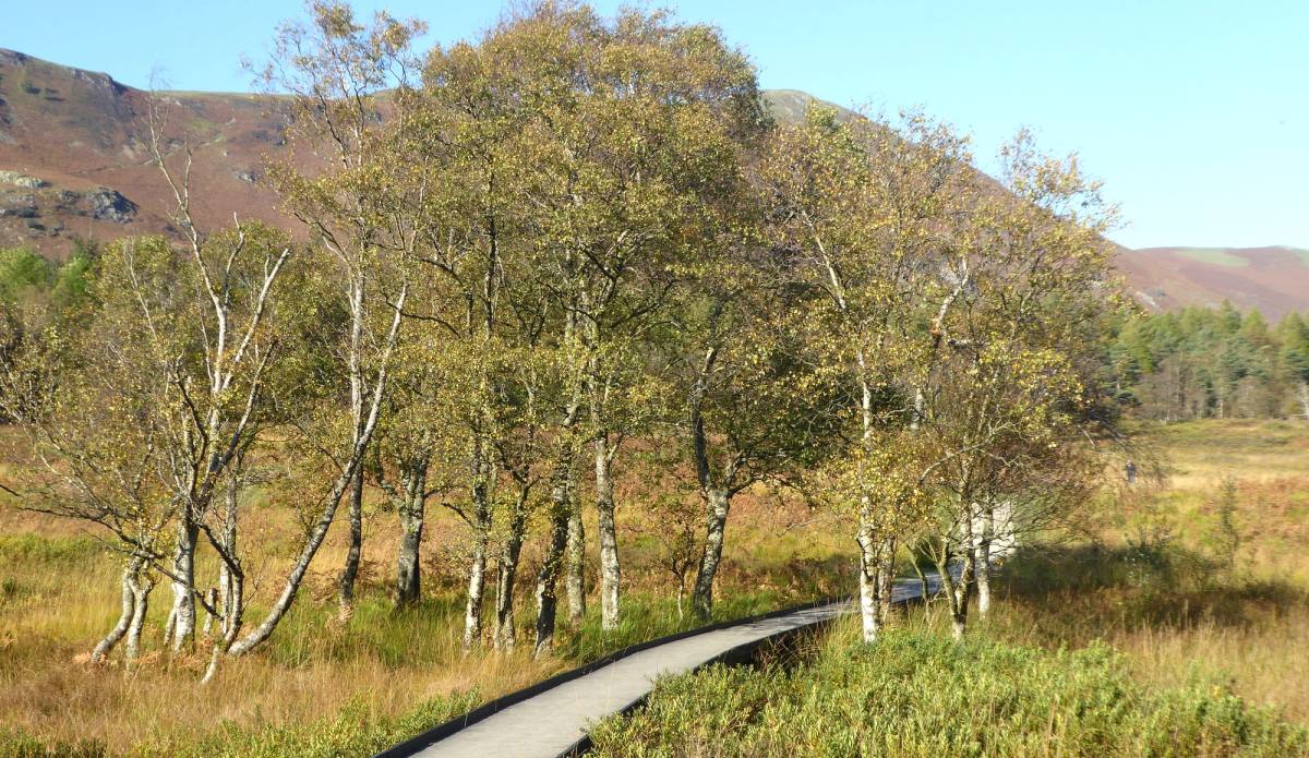
Follow the waymarked lakeshore circuit at a leisurely pace over a full day. For a shorter walk, use a bus or the launch’s landing stages.
See the route10 miles · Full day
Car free — on foot
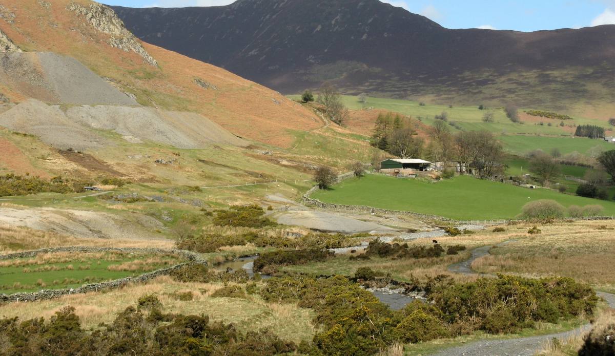
The Newlands Valley nestles within the fells on the western side of Derwentwater. Only a stones throw from Keswick it encompasses an amazing array of
See the route8 miles (13km) · 5-6 hours
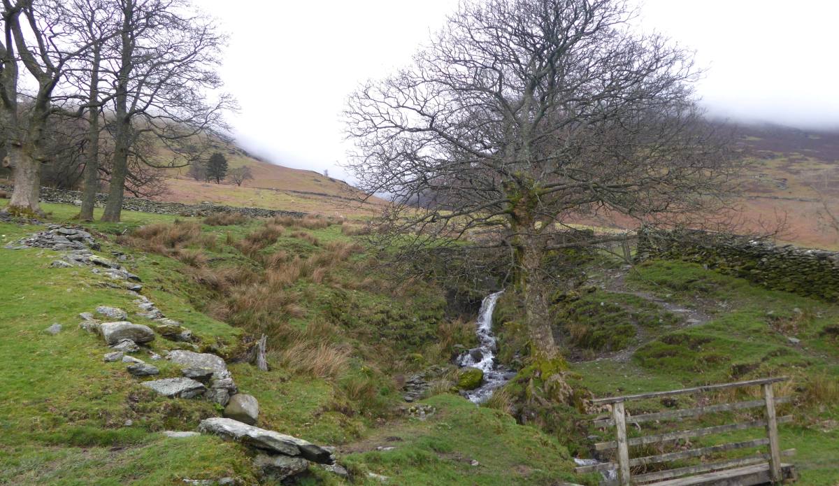
A circular walk from the village of Threlkeld near Keswick taking you over the fields to Wescoe with fine views of Blencathra, Clough Head and Latrigg
See the routejust under 4 miles · 2 hours
Car free — bus X4 or X5
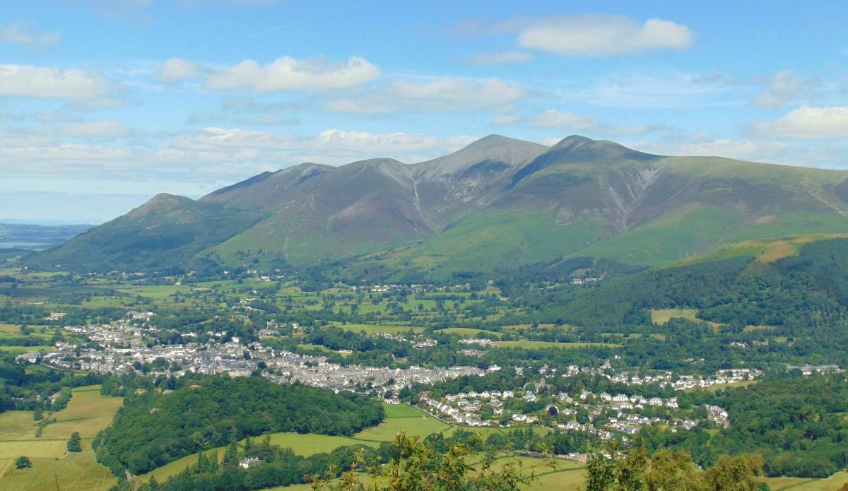
Climb Walla Crag from Keswick for outstanding views over Derwentwater to the fells beyond. This route then takes you down to Ashness Bridge and return
See the route6 miles · 3-4 hours
Car free — on foot
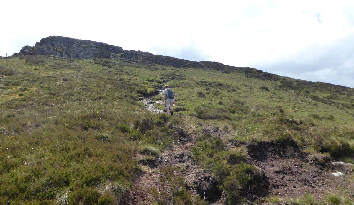
Enjoy fantastic views from the three Wainwright summits of Walla Crag, Bleaberry Fell and High Seat before dropping down to the much-photographed Ashn
See the route9.5 miles · 5 hours
Car free — on foot
Start your trip here
Plan your perfect escape with our Keswick guide. From places to stay and things to do, where to eat, explore and unwind.