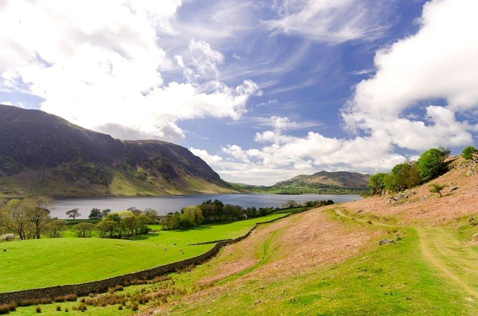

Once one lake
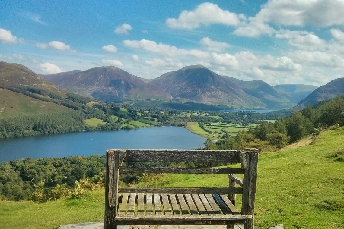
Buttermere, Crummock Water and Loweswater occupy the long glaciated valley leading north and west to Cockermouth and the coast. Buttermere and Crummock Water were originally one large lake, separated now by material brought down by the mountain streams over thousands of years.
You can walk across that spread of ground between the two in a few minutes, which is the clearest way to see what happened here.
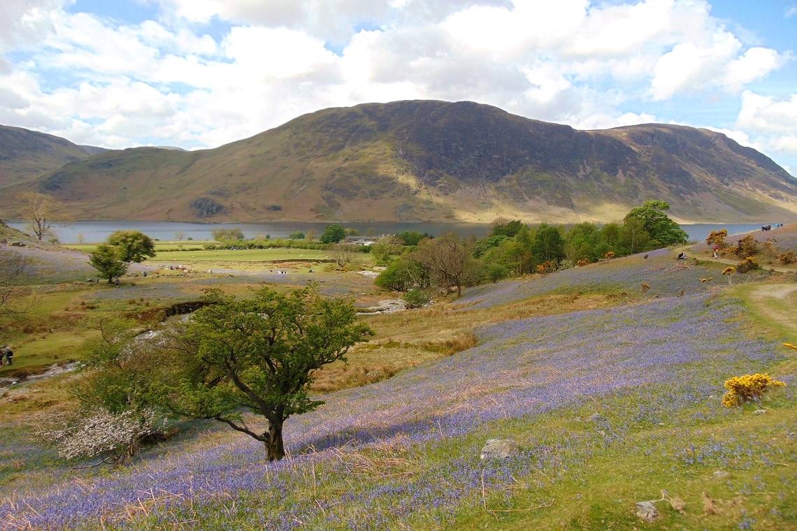
The road along the shore
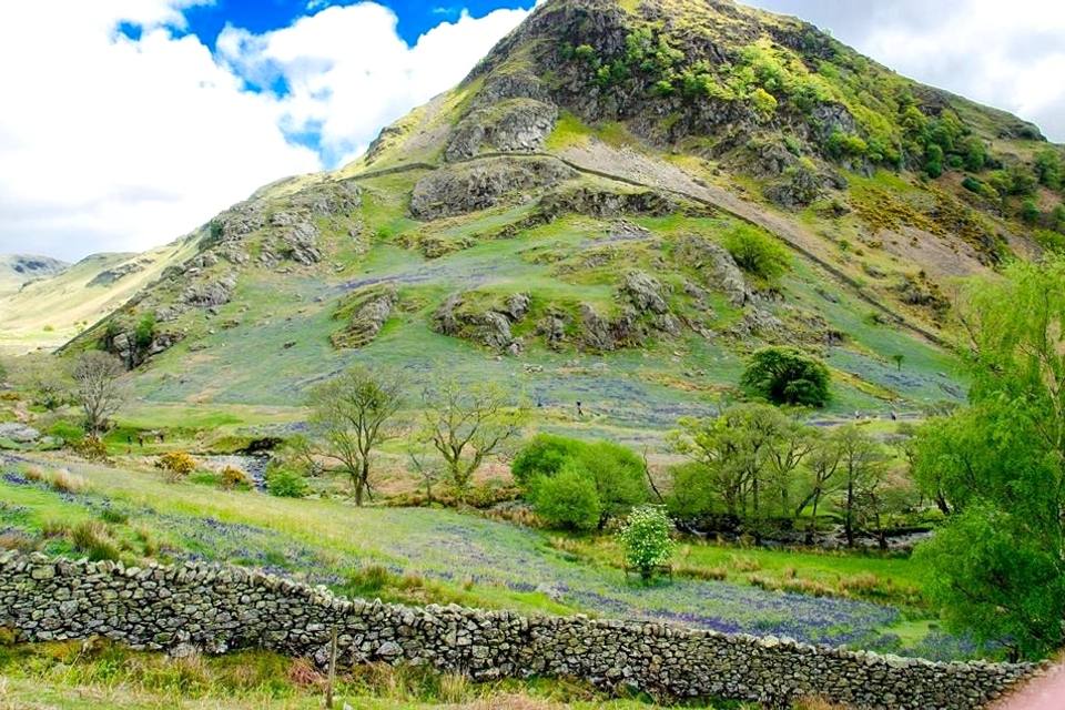
The much larger Crummock Water is closely followed by the road, with many vantage points looking towards the dramatic slopes of Melbreak, and easy access to the Rannerdale valley — which in early to mid May turns blue with bluebells. There is more about that on the Buttermere valley page.
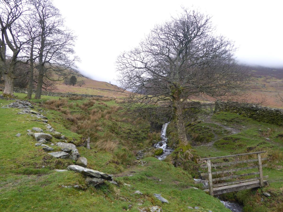
Scale Force
About a mile up Scale Beck, which flows into Crummock, is Scale Force — the highest waterfall in England, with a drop of 120 feet. There are footpaths to it from both lakes.
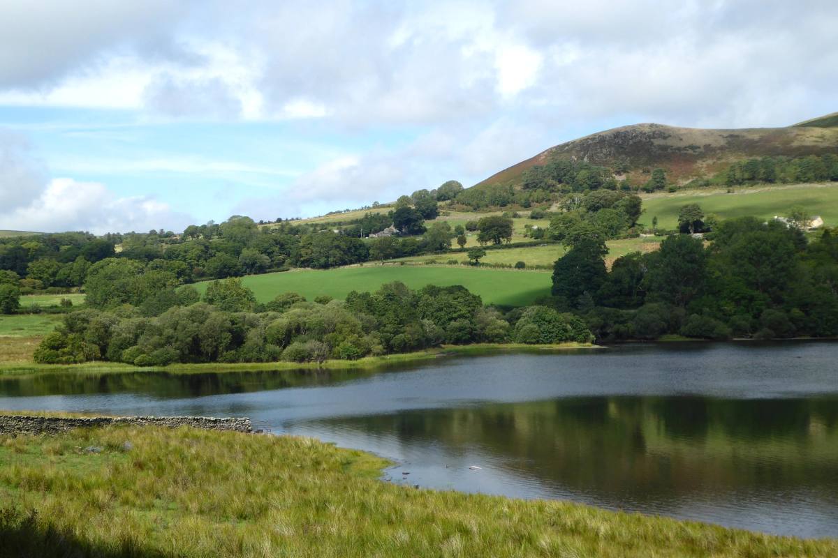
Map
- Crummock Water
- Keswick
- Buttermere lake
- Loweswater
- Lorton
Start your trip here
Plan your perfect escape with our Keswick guide. From places to stay and things to do, where to eat, explore and unwind.
Stories from our blog
See all blog posts Blog
BlogBook Direct
In today's world, booking accommodation has never been easier. With the advent of online travel agencies (OTAs) like Booking.com, Expedia, and Airbnb, people can book their accommodation in just a few
 Blog
BlogPlanning Your Stay In Keswick
Keswick is a vibrant and lively town nestled in a stunning part of the Lake District and theres something for everyone here. Read on for some inspiration and ideas for where to stay and what to do whe
 Blog
BlogFestive Walks to do over the Christmas Period
If you are staying in Keswick or the North Lakes over the Christmas period, you are probably planning on going for a walk?